
The Location Advantage
POSITIONED BETWEEN DESTINATION, COMMUNITY AND CORRIDOR
Tefle Destination sits in South Tongu, Volta Region, near Tefle and the Sogakope area, with strategic access to the wider Accra–Lomé corridor.
South Tongu, Volta Region
A distinctive river landscape with significant tourism potential
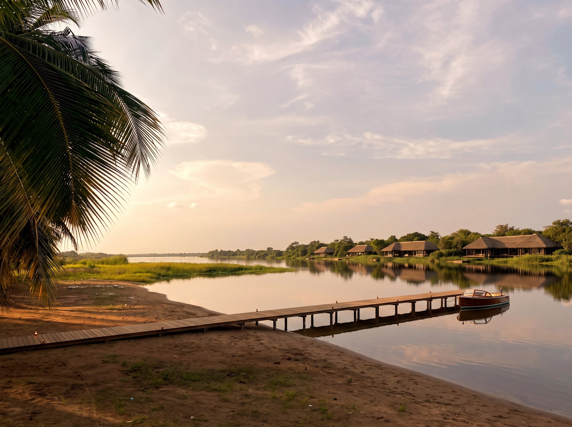
The South Tongu District identifies its riverbanks and islands as having potential for riverside resorts, water sports and hospitality development. Tefle Destination is located in this corridor, surrounded by the Volta landscape and with views toward neighbouring communities.
12
Hectares
120K
Sq. metres
Access context
- Accra~90 km
- SogakopeNearby
- LoméRegional corridor
- HoRegional capital
Distances are approximate and intended for orientation only. Final access planning will be validated through technical studies.
Location advantages
Five strategic advantages that shape the opportunity
The N1 Corridor
A major road connection between Greater Accra and eastern Ghana / West Africa, supporting visitor and supply access.
The Lower Volta
A distinctive water landscape with significant tourism and recreational potential, forming the island's setting and transport medium.
Sogakope & Surrounding Communities
An established population and economic base that can support hospitality staffing, services and local enterprise.
The Accra–Lomé Axis
Potential access to a broader West African visitor and commercial market along a key coastal corridor.
The Volta Tourism Network
A region containing mountains, waterfalls, lagoons, beaches, culture, wildlife and heritage — with Tefle as a gateway.
Regional connectivity
A gateway to the wider Volta experience
Tefle Destination is not intended to exist in isolation. It is designed to become the base from which visitors discover the region — from river communities and artisan villages to mountains, waterfalls, coast and nature reserves.
River & Culture
Tefle → Sogakope → surrounding communities
Heritage & Craft
Tefle → Volta cultural and artisan destinations
Mountains
Tefle → Ho → Mount Afadjato region
Waterfalls
Tefle → Wli → Tagbo
Coast
Tefle → Anloga → Keta
Nature
Tefle → lagoons, wetlands and wildlife experiences
From above
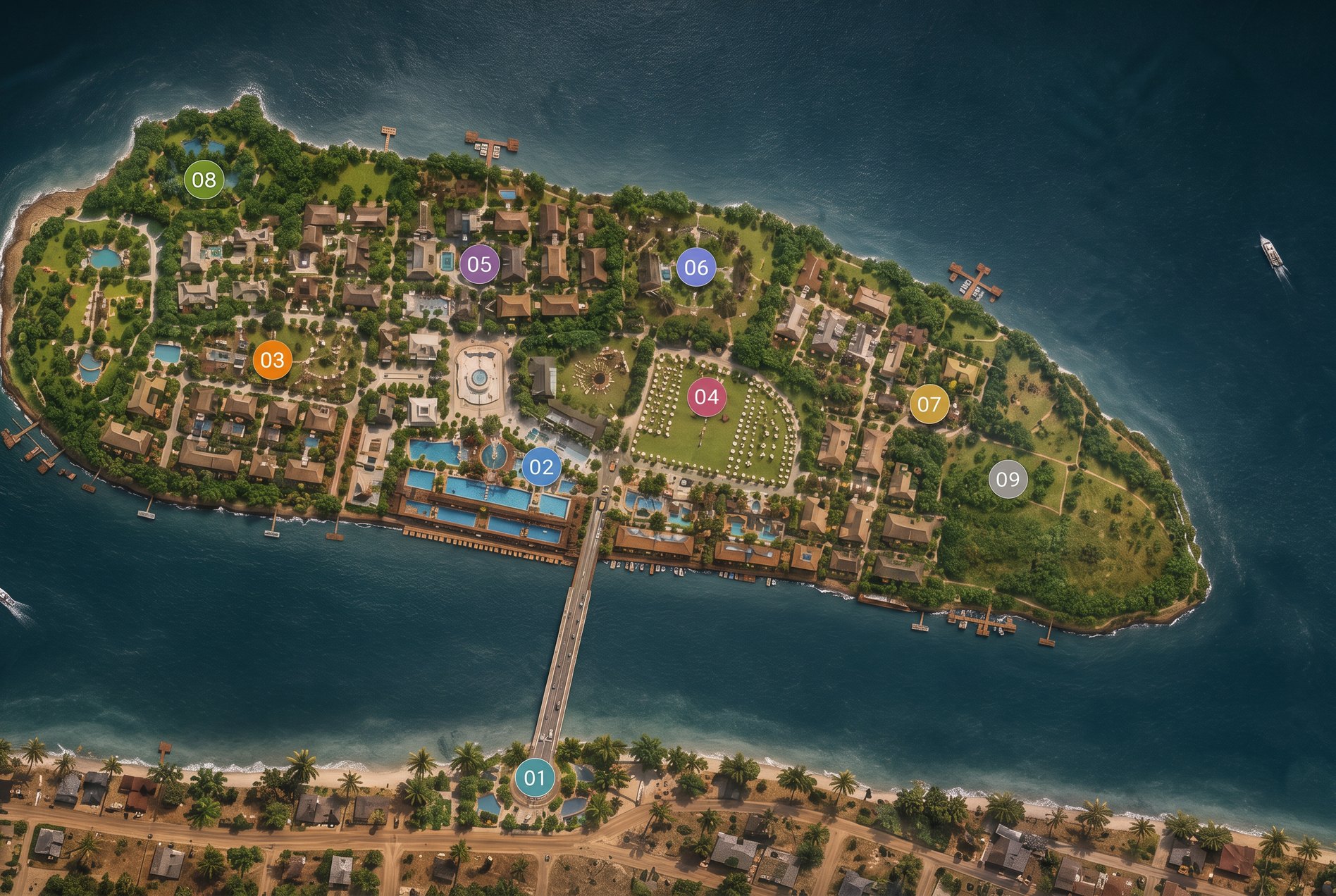
How the water surrounds the island
Tefle Destination sits in the Lower Volta with deep water on one side and a narrow, sheltered channel on the town side — the natural crossing point. The long southern edge is the beachfront: over a kilometre of palm-lined sand.
The site today
The island, photographed as it stands
No renders here. These are the beachfront, the coconut grove, the channel and the neighbouring community as they are right now — colour corrected only. This is the land the masterplan is built on.
Over a kilometre of palm-lined river frontage, a shallow sandy landing already used by canoes, and a mature coconut grove that the masterplan retains in full.
The location is part of the destination
Tefle Destination's position between the N1 corridor, the Lower Volta and regional tourism networks makes it a natural hub for a new generation of Ghanaian destination development.